
Welcome, Monthly Millionaire entrants.
Your entries are in. Now measure any property across Canada or the US.
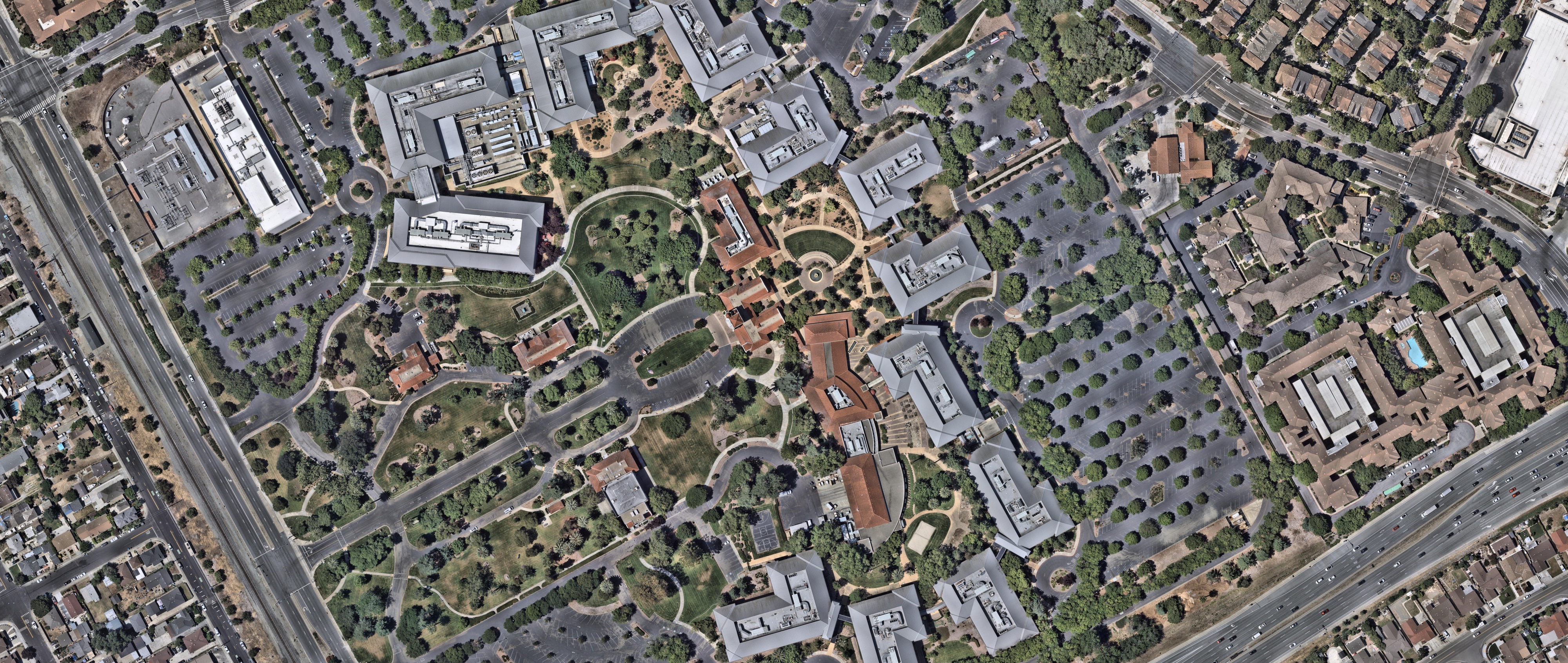
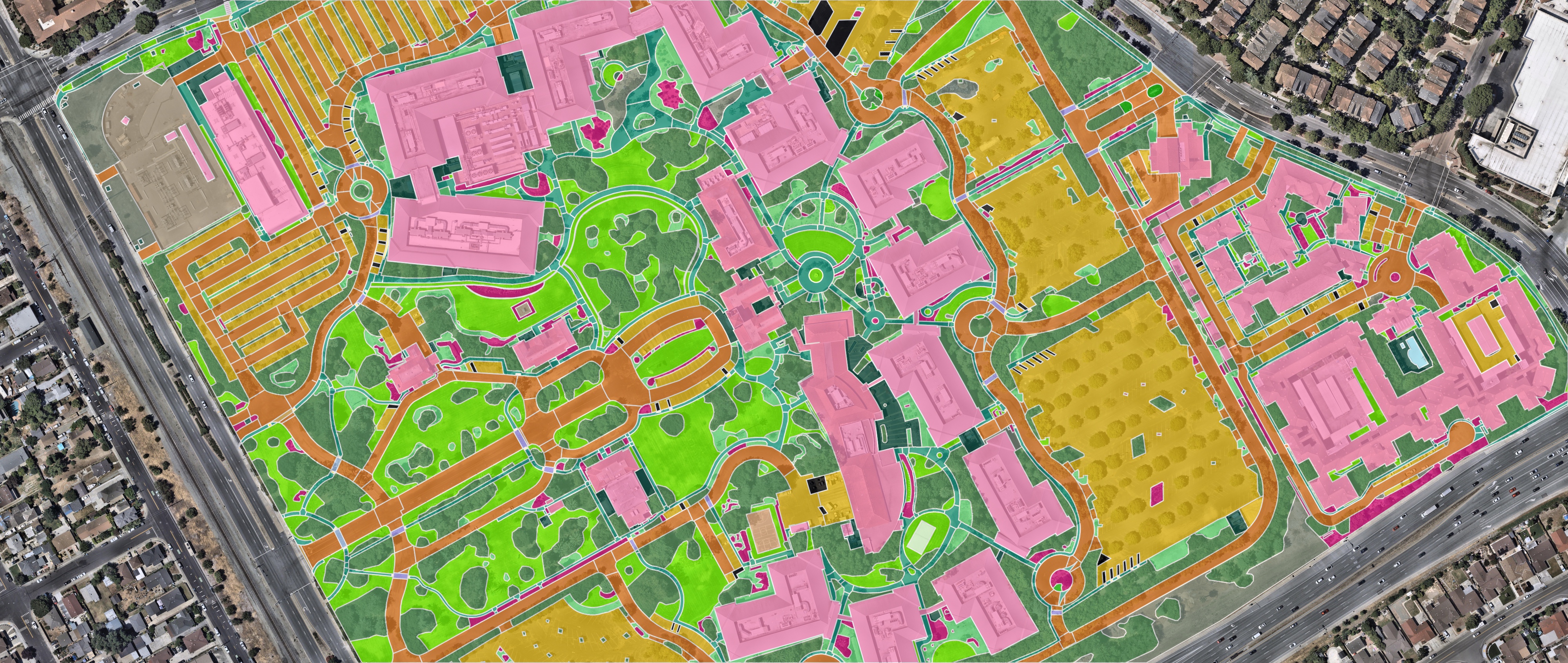
Ecopia is a Toronto company that uses artificial intelligence (AI) to map every feature on a property from high-resolution aerial imagery, including buildings, driveways, sidewalks, lawns, garden beds, parking lots, and trees. Measure from your desk and quote the job without driving to it.
Add a credit card to activate your credits. Ecopia is not affiliated with or endorsed by Wealthsimple.
A Canadian company mapping the world from above.
Ecopia turns high-resolution aerial imagery into precise digital maps of every feature on the ground, including rooftops, roads, sidewalks, driveways, lawns, and trees, each one outlined and measured.
Governments, insurers, telecom companies, and engineering firms in more than 100 countries already rely on Ecopia data. Now the same maps are available to small businesses, one property at a time.
Built and run in Canada.
Where organizations use Ecopia data.
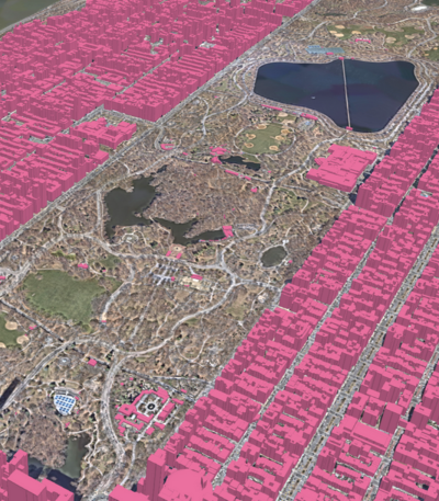
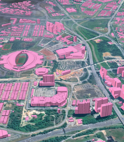
Building footprints mapped across the US.
From turf and beds to parking and pavement.
Hundreds of commercial and government organizations rely on Ecopia data.






































From sign-up to measurements in three steps.
Create your account
Sign up and add a card to unlock $100 in free credits.
Pick a property
Search an address and outline the area you need measured.
Download your takeoff
Get measurements in as little as 30 minutes, ready for your quote.
Built for people who work with properties every day.
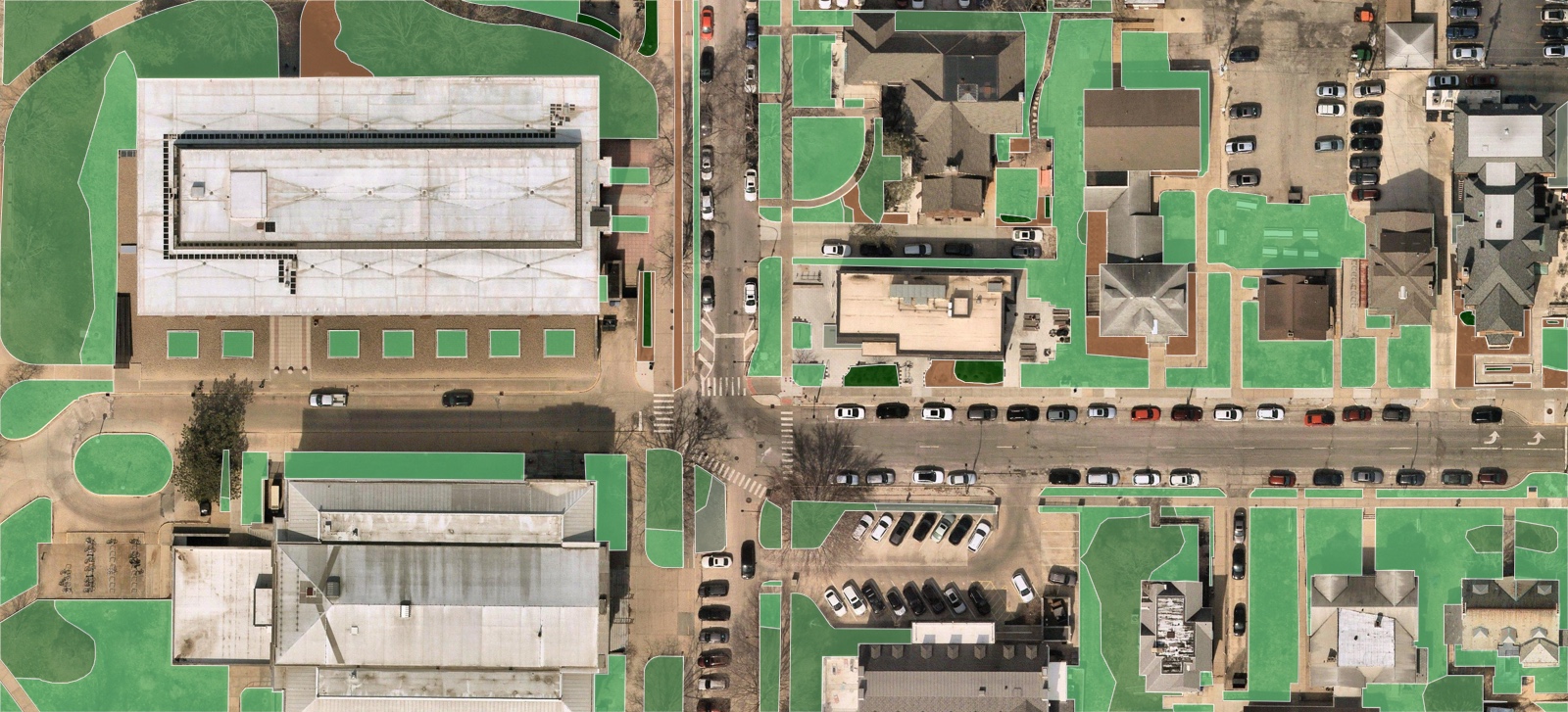
Landscapers and lawn care
Turf, beds, and hardscape measured for every property on your route, before you send a quote.
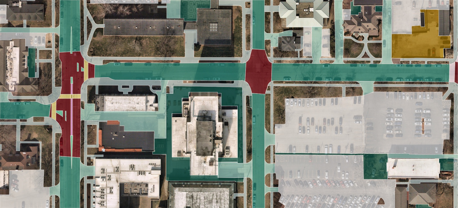
Paving and snow removal
Square footage for every driveway, parking lot, and walkway, so your bid matches the site.
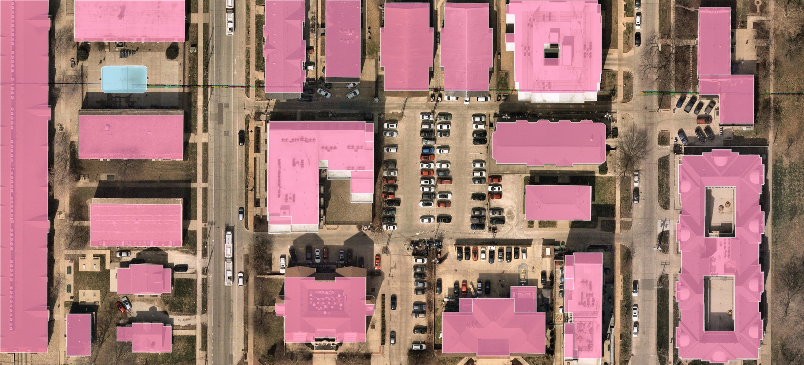
Contractors and property managers
Building footprints, paved areas, and green space across a whole portfolio, without a site visit.
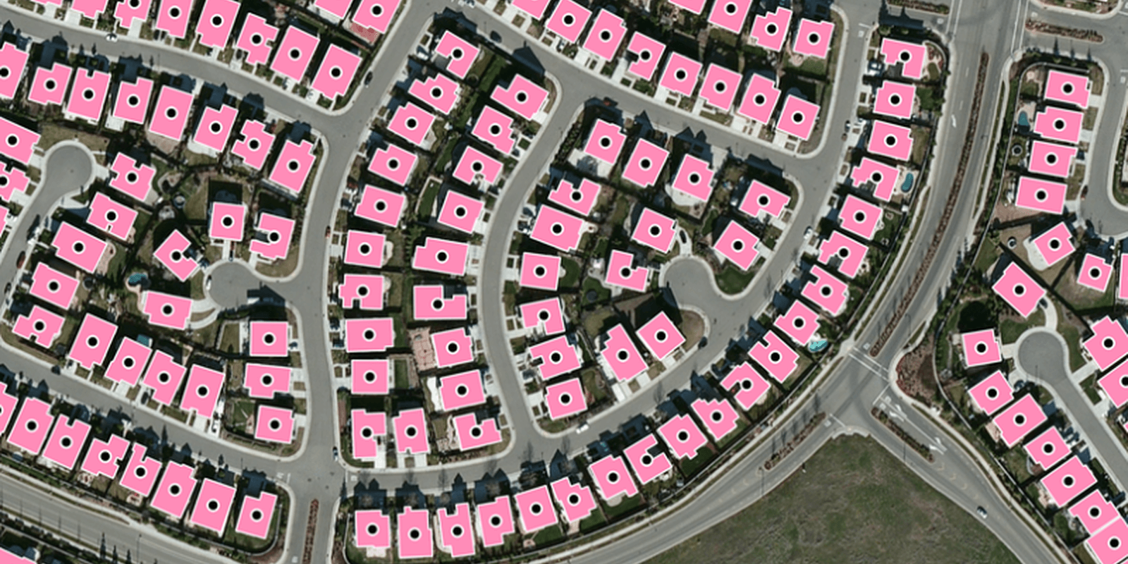
Insurers and underwriters
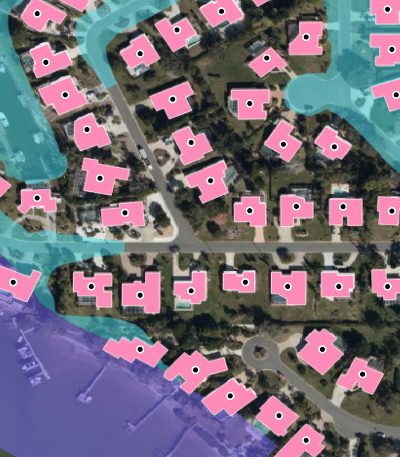
Building-Based Geocoding places every address on its actual rooftop, with the building footprint attached, for sharper property risk and exposure data.
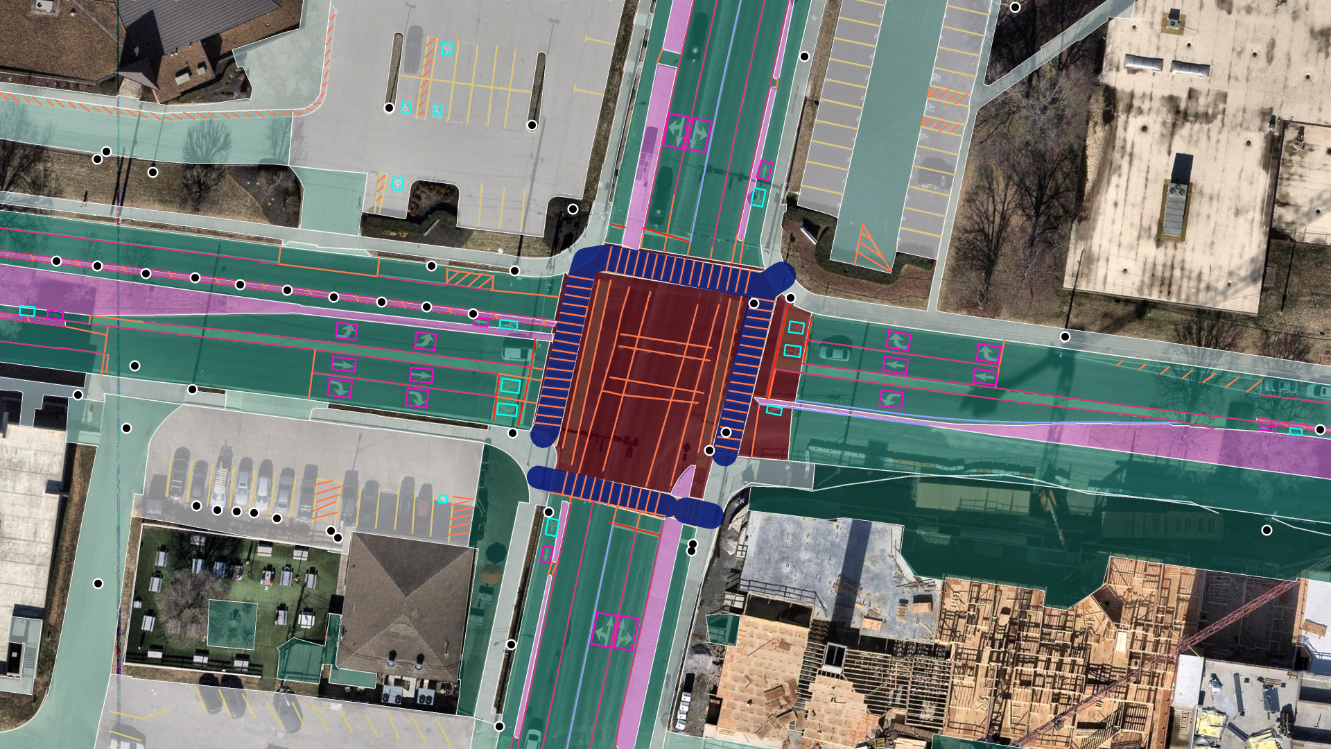
Civil engineers and transportation planners
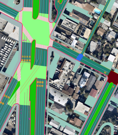
Advanced Transportation Features maps lanes, crosswalks, curbs, medians, and painted markings for right-of-way, safety, and permitting work.
Start with $100 in free credits.
Create an account, add a card to activate your credits, and measure your first property today.
Add a credit card to activate your credits. Ecopia is not affiliated with or endorsed by Wealthsimple.